Arranmore
Oileáin Site Map
MAPS:
North West
|
West Donegal
Cruit
|
Gola
|
Inishfree Upper
|
Inishirrer
|
Inishmeane
|
Inishmcadam (Rutland)
|
Owey
Name:
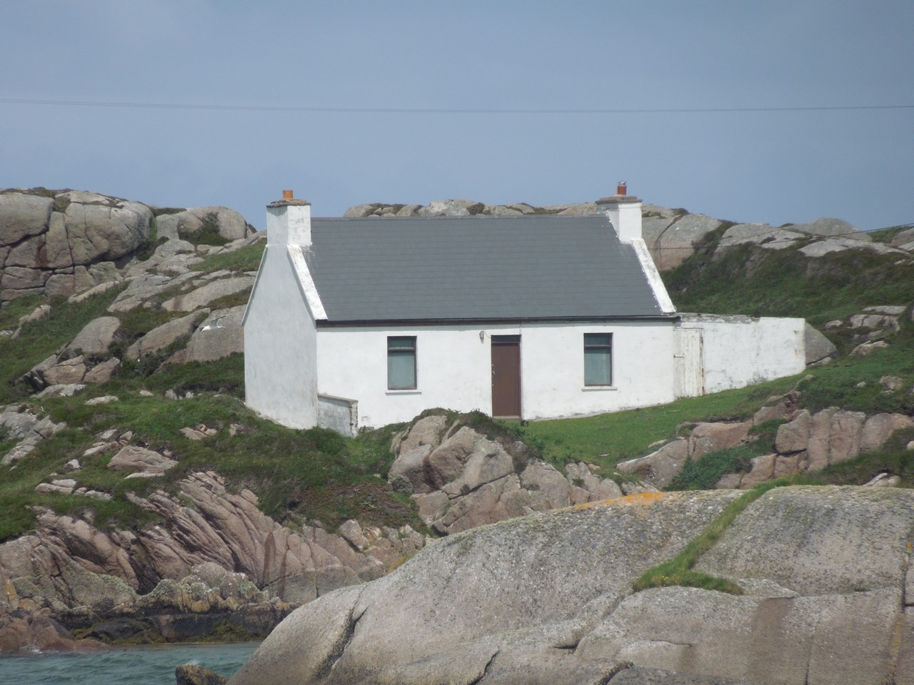
Arranmore - Árainn Mhór
Access:
Car Ferry from Burtonport
Books:
Arranmore Links
- Barney Gallagher - Published 1986
The Seals
Monk Gibbon - 1935
Websites:
Arranmore
Arranmore Co-Op
Wikipedia
Arranmore
Arranmore
Oileáin Site Map
MAPS:
North West
|
West Donegal
Cruit
|
Gola
|
Inishfree Upper
|
Inishirrer
|
Inishmeane
|
Inishmcadam (Rutland)
|
Owey